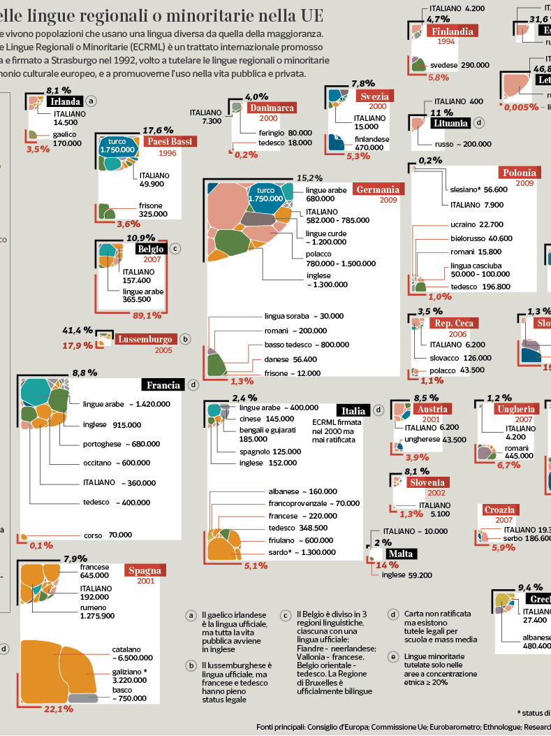
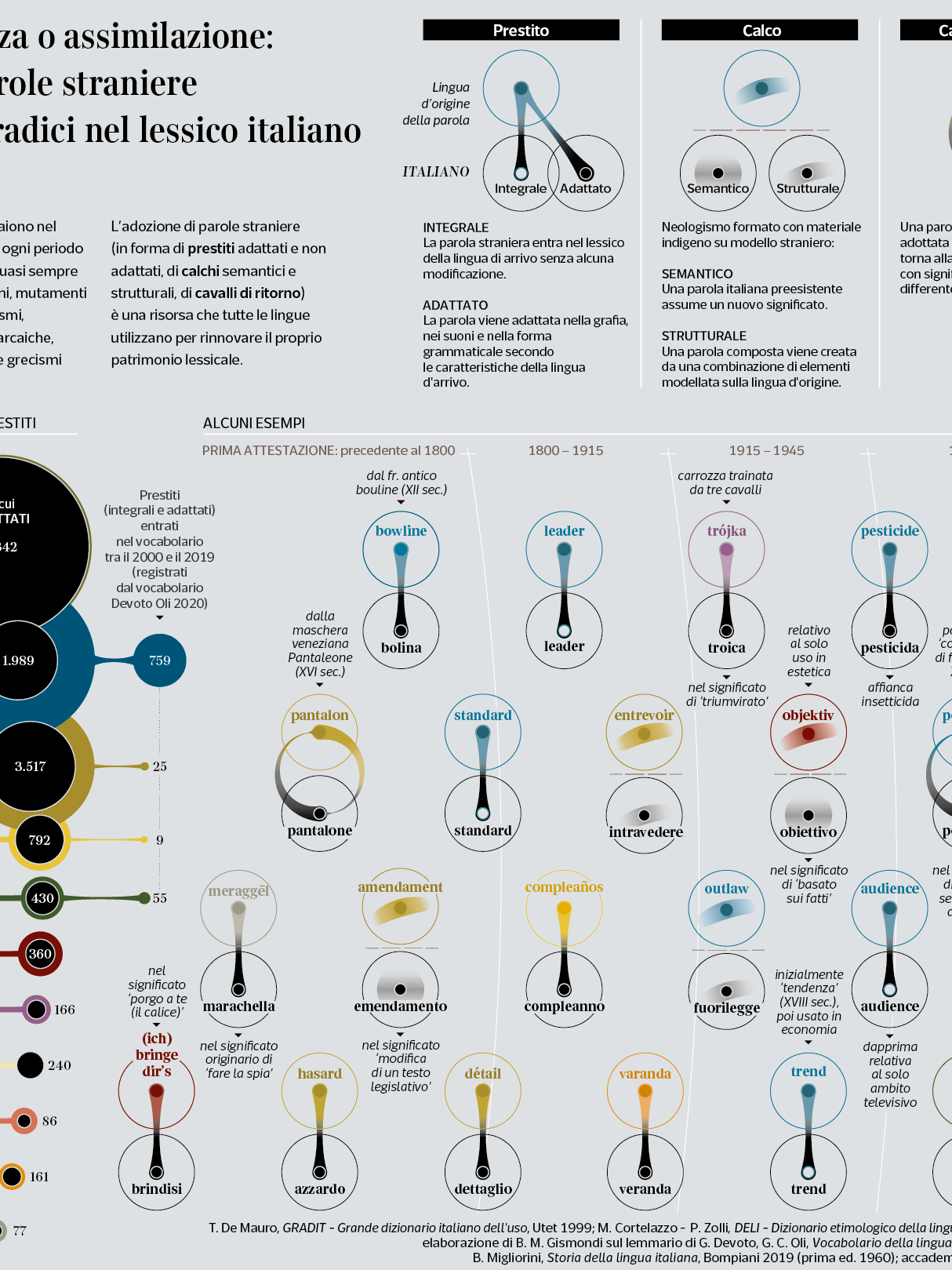
A visualization of mine published on Corriere della Sera - La Lettura: “Toponomastica Italiana”
The display shows the municipal toponyms for which it is possible to suppose a genesis within a known ancient language, and therefore connect the foundation of each settlement to a specific population.
The toponyms are grouped together according to three historical phases (Pre-Latin, Latin and Medieval Italy) in which they would have originated, and reported on the current council boundaries which still retain their trace in form of the termination of the name (suffix) or internal part (infix).
Total figure for each category is displayed at the end of the arrows.
Original names of the most important settlements are fully shown in the respective form transmitted (and in brackets in the current Italian version). The names subsequently adopted are omitted (e.g. such as the new Latin names imposed on existing cities, which the Romans conquered during the expansion phase, 5th-2nd century BC).
For the sake of simplicity, Sardinia has been excluded, whose original language (Protosardo or Paleosardo) is poorly known.
The populations considered: Ligurians, Etruscans, Greeks, Celts, Latins, Byzantine Greeks, Germanic populations (in particular Longobards and Goths). Settlements (and toponymic outcomes) of other populations that on various times occupied parts of Italy, including the Phoenicians, Umbrians, Sabines, Volsci, are left out.
Original idea, research, and visualization are from me. Hopefully with not so many errors!

